Choropleth inspiration

A choropleth map displays divided geographical areas or regions that are colored, shaded, or patterned in relation to a data variable. It is useful for visualizing spatial patterns and distributions.
0
Projects
Learn more about Choropleth
Data To Viz
Code tutorials
RPythonD3.jsReact
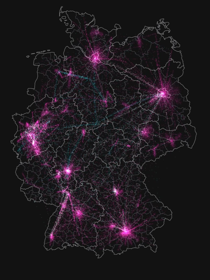
Population movements in Germany
Zeit Online
February 2023
0